Stanpit Recreation Ground
Introduction
The photograph on this page of Stanpit Recreation Ground by Mike Faherty as part of the Geograph project.
The Geograph project started in 2005 with the aim of publishing, organising and preserving representative images for every square kilometre of Great Britain, Ireland and the Isle of Man.

There are currently over 7.5m images from over 14,400 individuals and you can help contribute to the project by visiting https://www.geograph.org.uk
Stanpit Recreation Ground
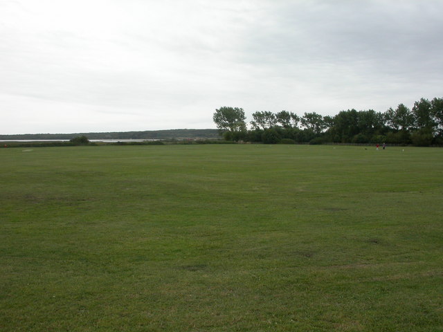
Image: © Mike Faherty Taken: 6 Aug 2009
Large open space owned by Christchurch Borough Council, popular with dog walkers; Christchurch Harbour and Hengistbury Head visible in the distance.
Images are licensed for reuse under creativecommons.org/licenses/by-sa/2.0
Image Location
Latitude
50.731602
Longitude
-1.760772