Malpas Road Evangelical Church, Newport
Introduction
The photograph on this page of Malpas Road Evangelical Church, Newport by Jaggery as part of the Geograph project.
The Geograph project started in 2005 with the aim of publishing, organising and preserving representative images for every square kilometre of Great Britain, Ireland and the Isle of Man.

There are currently over 7.5m images from over 14,400 individuals and you can help contribute to the project by visiting https://www.geograph.org.uk
Malpas Road Evangelical Church, Newport
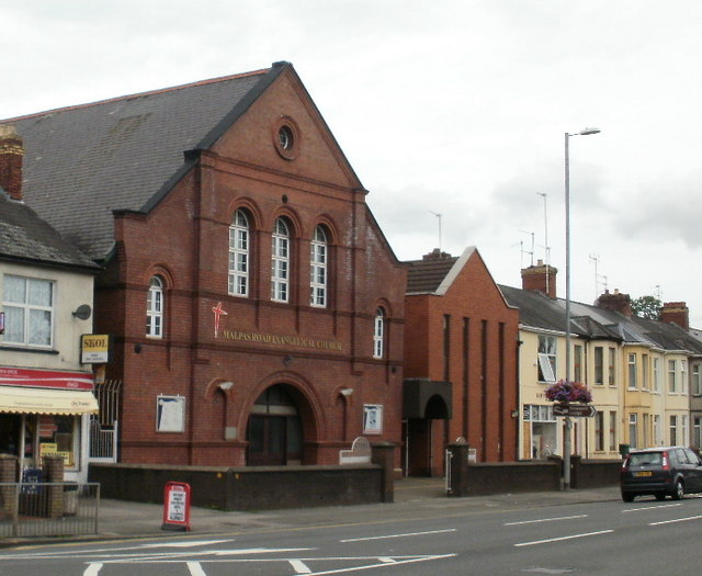
Image: © Jaggery Taken: 6 Aug 2009
On the west side of Malpas Road, opposite the junction with Brynglas Road. Present name was adopted in 1976 - previously known as Malpas Road Presbyterian Church. The date on the foundation stone is August 3rd 1896.
Images are licensed for reuse under creativecommons.org/licenses/by-sa/2.0
Image Location
Latitude
51.59872
Longitude
-3.000906