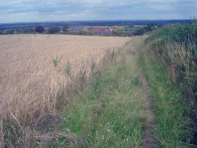
Footpath to St Brides
Introduction
The photograph on this page of Footpath to St Brides by Trevor Rickard as part of the Geograph project.
The Geograph project started in 2005 with the aim of publishing, organising and preserving representative images for every square kilometre of Great Britain, Ireland and the Isle of Man.
There are currently over 7.5m images from over 14,400 individuals and you can help contribute to the project by visiting https://www.geograph.org.uk

Image: © Trevor Rickard Taken: 31 Jul 2009
Looking north-east as the path tracks downhill at the edge of a barley field. The farmhouse at St Brides contains evidence of Norman stonework and is believed to be a wayside chapel connected to local monasteries. A number of artefacts have been unearthed, including a graveyard, stone coffins and a 16th century priests burial site.

