Public footpath near Nut Wood
Introduction
The photograph on this page of Public footpath near Nut Wood by Trevor Rickard as part of the Geograph project.
The Geograph project started in 2005 with the aim of publishing, organising and preserving representative images for every square kilometre of Great Britain, Ireland and the Isle of Man.

There are currently over 7.5m images from over 14,400 individuals and you can help contribute to the project by visiting https://www.geograph.org.uk
Public footpath near Nut Wood
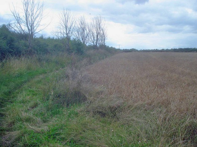
Image: © Trevor Rickard Taken: 31 Jul 2009
Looking west at the field corner with Nut Wood on the left. Barley crop on the right with the A514 over the hedge at the far side.
Images are licensed for reuse under creativecommons.org/licenses/by-sa/2.0
Image Location
Latitude
52.820761
Longitude
-1.458926