Royston Leisure Centre
Introduction
The photograph on this page of Royston Leisure Centre by Mike W Hallett as part of the Geograph project.
The Geograph project started in 2005 with the aim of publishing, organising and preserving representative images for every square kilometre of Great Britain, Ireland and the Isle of Man.

There are currently over 7.5m images from over 14,400 individuals and you can help contribute to the project by visiting https://www.geograph.org.uk
Royston Leisure Centre
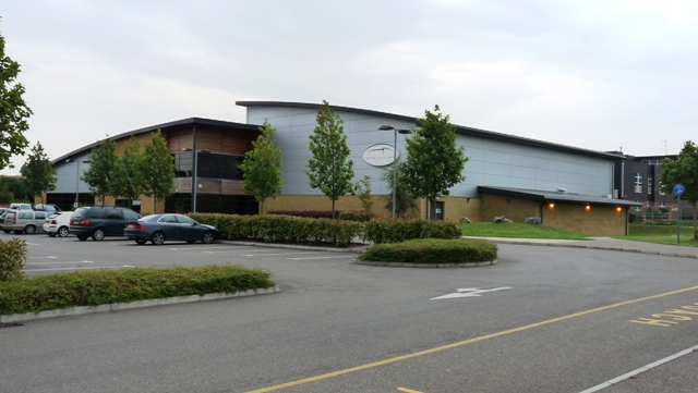
Image: © Mike W Hallett Taken: 6 Aug 2009
The Leisure Centre is tucked away behind a new housing development but is well signposted from the A10 Melbourn Road.
Images are licensed for reuse under creativecommons.org/licenses/by-sa/2.0
Image Location
Latitude
52.05572
Longitude
-0.0113