Travellers Rest Public House, Upper Hopton
Introduction
The photograph on this page of Travellers Rest Public House, Upper Hopton by Nigel Homer as part of the Geograph project.
The Geograph project started in 2005 with the aim of publishing, organising and preserving representative images for every square kilometre of Great Britain, Ireland and the Isle of Man.

There are currently over 7.5m images from over 14,400 individuals and you can help contribute to the project by visiting https://www.geograph.org.uk
Travellers Rest Public House, Upper Hopton
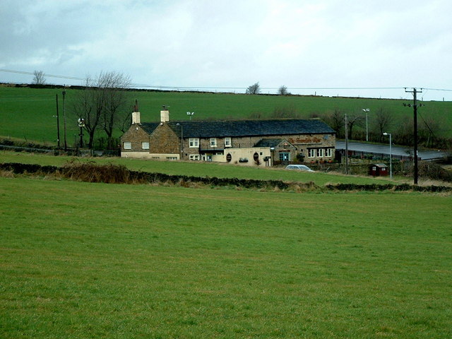
Image: © Nigel Homer Taken: 27 Mar 2006
The field in the front of the Pub was the original Upper Hopton Cricket Pitch. see http://www.ckcricketheritage.org.uk/northkirklees/upperhopton/docs/hopton_theearlyyears.pdf
Images are licensed for reuse under creativecommons.org/licenses/by-sa/2.0
Image Location
Latitude
53.665337
Longitude
-1.712415