The south side of Fallow Hill flats, Sydenham
Introduction
The photograph on this page of The south side of Fallow Hill flats, Sydenham by Robin Stott as part of the Geograph project.
The Geograph project started in 2005 with the aim of publishing, organising and preserving representative images for every square kilometre of Great Britain, Ireland and the Isle of Man.

There are currently over 7.5m images from over 14,400 individuals and you can help contribute to the project by visiting https://www.geograph.org.uk
The south side of Fallow Hill flats, Sydenham
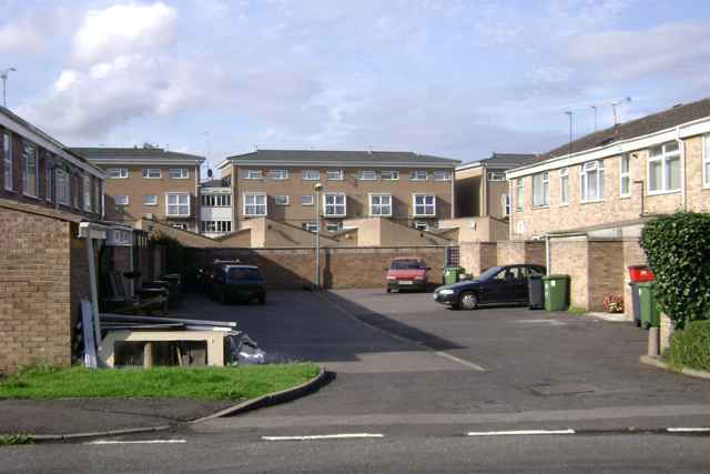
Image: © Robin Stott Taken: 5 Aug 2009
The main part of the Sydenham estate was planned as a series of closes whose fronts are pedestrian only and face each other across open space. The rear sides of the closes share a parking court. This one is between Crabtree Close and Joan's Close.
Images are licensed for reuse under creativecommons.org/licenses/by-sa/2.0
Image Location
Latitude
52.28036
Longitude
-1.517711