Wolverton Hill - Steep Hill 16%
Introduction
The photograph on this page of Wolverton Hill - Steep Hill 16% by Adam Morse as part of the Geograph project.
The Geograph project started in 2005 with the aim of publishing, organising and preserving representative images for every square kilometre of Great Britain, Ireland and the Isle of Man.

There are currently over 7.5m images from over 14,400 individuals and you can help contribute to the project by visiting https://www.geograph.org.uk
Wolverton Hill - Steep Hill 16%
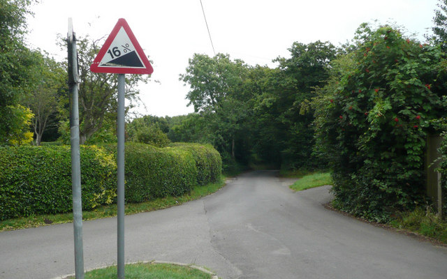
Image: © Adam Morse Taken: 30 Jul 2009
Wolverton Hill, Ewell Minnis. 16% steep hill up sign, incorrect as the road goes down and with a mirrored % sign.
Images are licensed for reuse under creativecommons.org/licenses/by-sa/2.0
Image Location
Latitude
51.143937
Longitude
1.230807