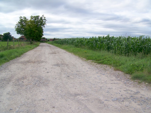
Byway, All Cannings
Introduction
The photograph on this page of Byway, All Cannings by Maigheach-gheal as part of the Geograph project.
The Geograph project started in 2005 with the aim of publishing, organising and preserving representative images for every square kilometre of Great Britain, Ireland and the Isle of Man.
There are currently over 7.5m images from over 14,400 individuals and you can help contribute to the project by visiting https://www.geograph.org.uk

Image: © Maigheach-gheal Taken: 3 Aug 2009
The byway heads for Woodhay Bridge and then to Allington. There is a crop of maize to the right hand side. In the past, maize was grown in Britain mainly as animal fodder, although sweetcorn varieties have been grown on a small scale in the south-east for the table. New varieties which will ripen in our climate have now been introduced. In Victorian times maize for silage was cut green and fed to cattle in June and July. Today it is left to become as ripe as possible and harvested with a special machine which chops stalk, leaf and head together; it is then stored in silos.

