Bourne End station
Introduction
The photograph on this page of Bourne End station by Albert Bridge as part of the Geograph project.
The Geograph project started in 2005 with the aim of publishing, organising and preserving representative images for every square kilometre of Great Britain, Ireland and the Isle of Man.

There are currently over 7.5m images from over 14,400 individuals and you can help contribute to the project by visiting https://www.geograph.org.uk
Bourne End station
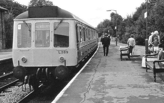
Image: © Albert Bridge Taken: 28 Aug 1986
A potted history of the station can be found in Image The 11.14 from Maidenhead has arrived. The driver is making his way to the cab at the other end of the two-car dmu before continuing to Marlow.
Images are licensed for reuse under creativecommons.org/licenses/by-sa/2.0
Image Location
Latitude
51.576671
Longitude
-0.710861