Murrayshall Hill
Introduction
The photograph on this page of Murrayshall Hill by Richard Webb as part of the Geograph project.
The Geograph project started in 2005 with the aim of publishing, organising and preserving representative images for every square kilometre of Great Britain, Ireland and the Isle of Man.

There are currently over 7.5m images from over 14,400 individuals and you can help contribute to the project by visiting https://www.geograph.org.uk
Murrayshall Hill
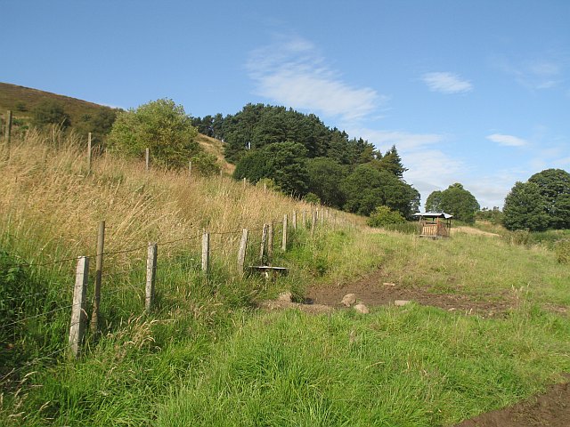
Image: © Richard Webb Taken: 3 Aug 2009
The moorland - farmland boundary on Murrayshall Hill. The obelisk is out of sight to the left. The northern slopes of the hill are occupied by a scenic and rather difficult looking golf course.
Images are licensed for reuse under creativecommons.org/licenses/by-sa/2.0
Image Location
Latitude
56.416232
Longitude
-3.352266