Housing development, Wester Bonhard
Introduction
The photograph on this page of Housing development, Wester Bonhard by Richard Webb as part of the Geograph project.
The Geograph project started in 2005 with the aim of publishing, organising and preserving representative images for every square kilometre of Great Britain, Ireland and the Isle of Man.

There are currently over 7.5m images from over 14,400 individuals and you can help contribute to the project by visiting https://www.geograph.org.uk
Housing development, Wester Bonhard
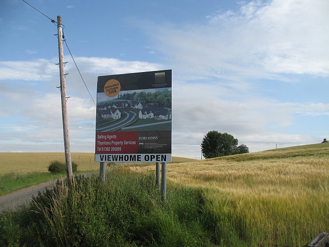
Image: © Richard Webb Taken: 3 Aug 2009
Small groupings of expensive houses are a common feature of the country around Perth. The site is still under development, and on a Monday morning it was fenced off with no sign of work in progress.
Images are licensed for reuse under creativecommons.org/licenses/by-sa/2.0
Image Location
Latitude
56.423535
Longitude
-3.366306