Footpath Level Crossing
Introduction
The photograph on this page of Footpath Level Crossing by David Lally as part of the Geograph project.
The Geograph project started in 2005 with the aim of publishing, organising and preserving representative images for every square kilometre of Great Britain, Ireland and the Isle of Man.

There are currently over 7.5m images from over 14,400 individuals and you can help contribute to the project by visiting https://www.geograph.org.uk
Footpath Level Crossing
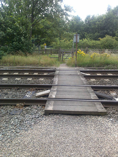
Image: © David Lally Taken: 24 Jul 2009
There are quite a few of these on the line between Long Eaton and Beeston.
Images are licensed for reuse under creativecommons.org/licenses/by-sa/2.0
Image Location
Latitude
52.90823
Longitude
-1.228094