Moel-Ddolwen from the west
Introduction
The photograph on this page of Moel-Ddolwen from the west by Richard Law as part of the Geograph project.
The Geograph project started in 2005 with the aim of publishing, organising and preserving representative images for every square kilometre of Great Britain, Ireland and the Isle of Man.

There are currently over 7.5m images from over 14,400 individuals and you can help contribute to the project by visiting https://www.geograph.org.uk
Moel-Ddolwen from the west
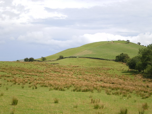
Image: © Richard Law Taken: 1 Aug 2009
A view up towards the hillfort on Moel-Ddolwen; the earthworks are barely visible from down here.
Images are licensed for reuse under creativecommons.org/licenses/by-sa/2.0
Image Location
Latitude
52.658736
Longitude
-3.496003