Round Tower
Introduction
The photograph on this page of Round Tower by Graham Horn as part of the Geograph project.
The Geograph project started in 2005 with the aim of publishing, organising and preserving representative images for every square kilometre of Great Britain, Ireland and the Isle of Man.

There are currently over 7.5m images from over 14,400 individuals and you can help contribute to the project by visiting https://www.geograph.org.uk
Round Tower
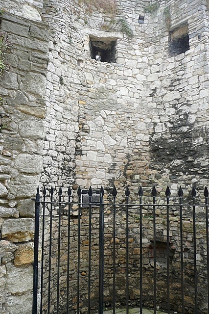
Image: © Graham Horn Taken: 28 Jul 2009
The Round Tower is halfway along the eastern side of the town walls. It was originally free-standing but incorporated into the walls in the mid 14th century. There is more information here Image]
Images are licensed for reuse under creativecommons.org/licenses/by-sa/2.0
Image Location
Latitude
50.896767
Longitude
-1.401885