Porter's Lane
Introduction
The photograph on this page of Porter's Lane by Graham Horn as part of the Geograph project.
The Geograph project started in 2005 with the aim of publishing, organising and preserving representative images for every square kilometre of Great Britain, Ireland and the Isle of Man.

There are currently over 7.5m images from over 14,400 individuals and you can help contribute to the project by visiting https://www.geograph.org.uk
Porter's Lane
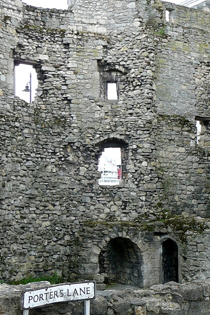
Image: © Graham Horn Taken: 28 Jul 2009
This was the most southerly point of the Southampton walls, where the water gate was located going directly on to the River Test.
Images are licensed for reuse under creativecommons.org/licenses/by-sa/2.0
Image Location
Latitude
50.89696
Longitude
-1.404442