Tregwynt, south elevation
Introduction
The photograph on this page of Tregwynt, south elevation by Natasha Ceridwen de Chroustchoff as part of the Geograph project.
The Geograph project started in 2005 with the aim of publishing, organising and preserving representative images for every square kilometre of Great Britain, Ireland and the Isle of Man.

There are currently over 7.5m images from over 14,400 individuals and you can help contribute to the project by visiting https://www.geograph.org.uk
Tregwynt, south elevation
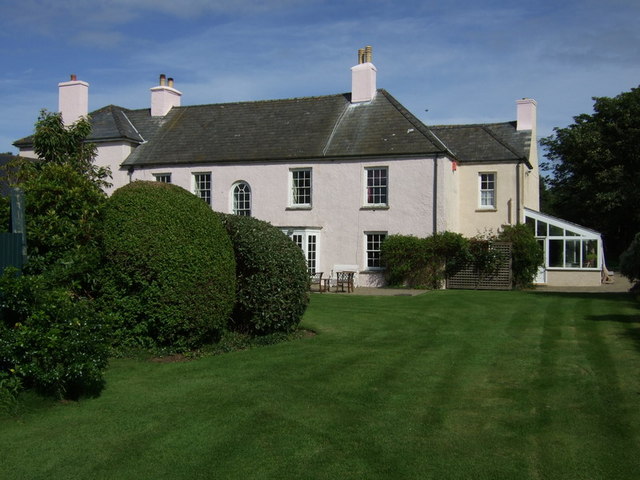
Image: © Natasha Ceridwen de Chroustchoff Taken: 1 Aug 2009
A lovely C18 country house which retains its original charm and simplicity.
Images are licensed for reuse under creativecommons.org/licenses/by-sa/2.0
Image Location


Leaflet Map data © OpenStreetMap
Latitude
51.969514
Longitude
-5.073998