Farmland at Asfordby Farm
Introduction
The photograph on this page of Farmland at Asfordby Farm by Kate Jewell as part of the Geograph project.
The Geograph project started in 2005 with the aim of publishing, organising and preserving representative images for every square kilometre of Great Britain, Ireland and the Isle of Man.

There are currently over 7.5m images from over 14,400 individuals and you can help contribute to the project by visiting https://www.geograph.org.uk
Farmland at Asfordby Farm
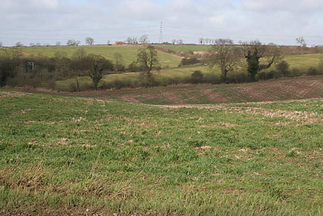
Image: © Kate Jewell Taken: 26 Mar 2006
Taken from the bridleway looking NW into the next square. The boundary runs just in front of the hedgerow in the centre of the photograph.
Images are licensed for reuse under creativecommons.org/licenses/by-sa/2.0
Image Location
Latitude
52.777361
Longitude
-0.941491