Foley Terrace and the path to St Ann's Well
Introduction
The photograph on this page of Foley Terrace and the path to St Ann's Well by Bob Embleton as part of the Geograph project.
The Geograph project started in 2005 with the aim of publishing, organising and preserving representative images for every square kilometre of Great Britain, Ireland and the Isle of Man.

There are currently over 7.5m images from over 14,400 individuals and you can help contribute to the project by visiting https://www.geograph.org.uk
Foley Terrace and the path to St Ann's Well
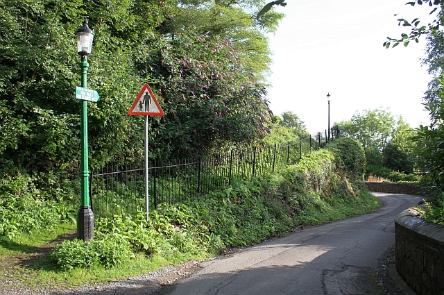
Image: © Bob Embleton Taken: 2 Aug 2009
The path on the left has an unusual sign "Public Footpath to The Hills and St Ann's Well"
Images are licensed for reuse under creativecommons.org/licenses/by-sa/2.0
Image Location


Leaflet Map data © OpenStreetMap
Latitude
52.109518
Longitude
-2.332291