Bench mark in Nercwys
Introduction
The photograph on this page of Bench mark in Nercwys by John S Turner as part of the Geograph project.
The Geograph project started in 2005 with the aim of publishing, organising and preserving representative images for every square kilometre of Great Britain, Ireland and the Isle of Man.

There are currently over 7.5m images from over 14,400 individuals and you can help contribute to the project by visiting https://www.geograph.org.uk
Bench mark in Nercwys
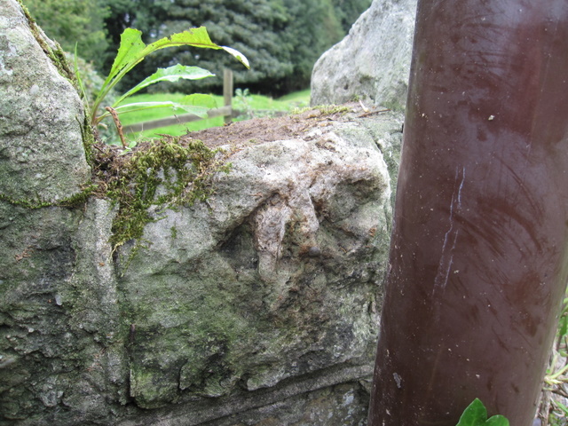
Image: © John S Turner Taken: 3 Aug 2009
This bench mark is recorded as a 'Rivet' on the O.S. website, although only the cut mark is visible now. The brown pole is for the footpath sign. See also Image
Images are licensed for reuse under creativecommons.org/licenses/by-sa/2.0
Image Location
Latitude
53.142242
Longitude
-3.155583