North west corner of Laurence Green
Introduction
The photograph on this page of North west corner of Laurence Green by Basher Eyre as part of the Geograph project.
The Geograph project started in 2005 with the aim of publishing, organising and preserving representative images for every square kilometre of Great Britain, Ireland and the Isle of Man.

There are currently over 7.5m images from over 14,400 individuals and you can help contribute to the project by visiting https://www.geograph.org.uk
North west corner of Laurence Green
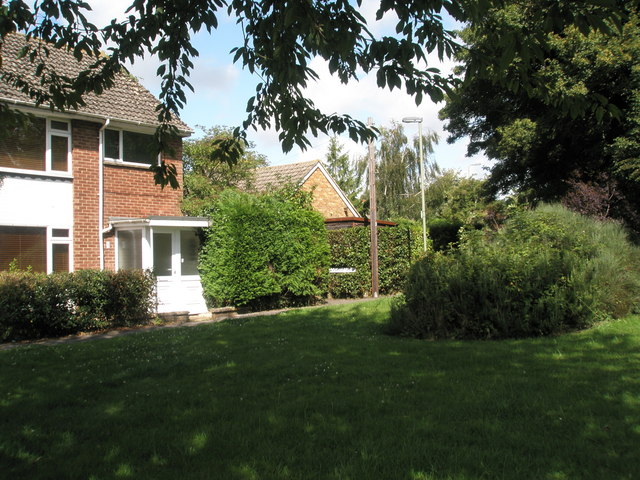
Image: © Basher Eyre Taken: 3 Aug 2009
With sign for the path to Woodruffe Way visible.
Images are licensed for reuse under creativecommons.org/licenses/by-sa/2.0
Image Location
Latitude
50.862709
Longitude
-0.937396