Entrance to the Ambulance Station.
Introduction
The photograph on this page of Entrance to the Ambulance Station. by Lynda Poulter as part of the Geograph project.
The Geograph project started in 2005 with the aim of publishing, organising and preserving representative images for every square kilometre of Great Britain, Ireland and the Isle of Man.

There are currently over 7.5m images from over 14,400 individuals and you can help contribute to the project by visiting https://www.geograph.org.uk
Entrance to the Ambulance Station.
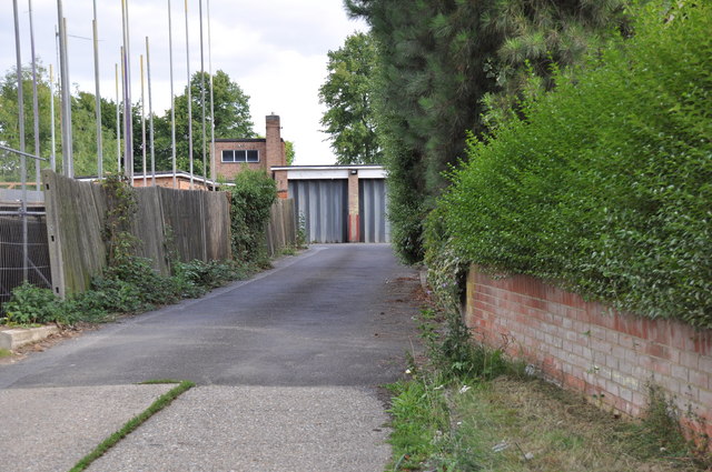
Image: © Lynda Poulter Taken: 2 Aug 2009
The poles on the left are part of the new houses being built on land at the back of the hospital.
Images are licensed for reuse under creativecommons.org/licenses/by-sa/2.0
Image Location
Latitude
51.706595
Longitude
0.125037