Polnoon Street at Glendinning Place
Introduction
The photograph on this page of Polnoon Street at Glendinning Place by Kenneth Mallard as part of the Geograph project.
The Geograph project started in 2005 with the aim of publishing, organising and preserving representative images for every square kilometre of Great Britain, Ireland and the Isle of Man.

There are currently over 7.5m images from over 14,400 individuals and you can help contribute to the project by visiting https://www.geograph.org.uk
Polnoon Street at Glendinning Place
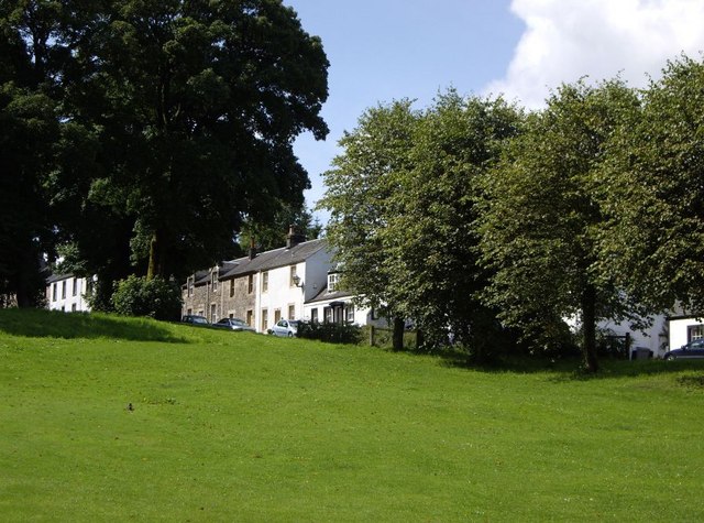
Image: © Kenneth Mallard Taken: 2 Aug 2009
Polnoon Street at Glendinning Place looking up to Quarry Lane http://www.geograph.org.uk/photo/1424767 . One of the buildings in Glendinning Place was once a Secession Church of the Burgher faction. The Patronage Act of 1712 gave the local laird or landowner the right to appoint the Minister of his Parish. Following much ill-feeling, the Secession Church broke away from the established church in 1733. Sometime after the church closed, the meeting house became the Old Concert Hall for a time before being converted to a private residence. Links to other views of Polnoon Street http://www.geograph.org.uk/photo/1450275 http://www.geograph.org.uk/photo/1480585 .
Images are licensed for reuse under creativecommons.org/licenses/by-sa/2.0
Image Location
Latitude
55.738848
Longitude
-4.279872