Graving Dock
Introduction
The photograph on this page of Graving Dock by Colin Smith as part of the Geograph project.
The Geograph project started in 2005 with the aim of publishing, organising and preserving representative images for every square kilometre of Great Britain, Ireland and the Isle of Man.

There are currently over 7.5m images from over 14,400 individuals and you can help contribute to the project by visiting https://www.geograph.org.uk
Graving Dock
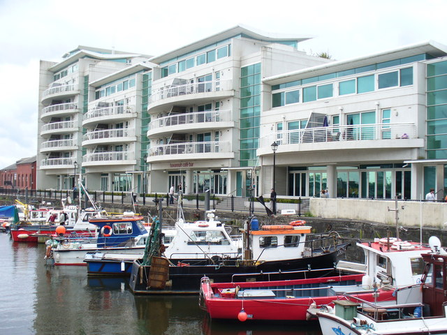
Image: © Colin Smith Taken: 18 Jul 2009
Hulls are no longer graved (or sealed) here. Modern regeneration now sees the dock used as a marina and it is lined by modern apartment blocks.
Images are licensed for reuse under creativecommons.org/licenses/by-sa/2.0
Image Location


Leaflet Map data © OpenStreetMap
Latitude
51.461493
Longitude
-3.167613