Park road leading to St. Johns Road, Moggerhanger, Beds.
Introduction
The photograph on this page of Park road leading to St. Johns Road, Moggerhanger, Beds. by nick macneill as part of the Geograph project.
The Geograph project started in 2005 with the aim of publishing, organising and preserving representative images for every square kilometre of Great Britain, Ireland and the Isle of Man.

There are currently over 7.5m images from over 14,400 individuals and you can help contribute to the project by visiting https://www.geograph.org.uk
Park road leading to St. Johns Road, Moggerhanger, Beds.
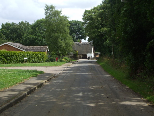
Image: © nick macneill Taken: 22 Jul 2009
Moggerhanger was hamlet belonging to Blunham parish until Victorian times when it got its own church and parish. Gradually, as the road from Sandy to Bedford increased in importance and moreover the railway was built between the same towns, houses sprouted up. There is a pond just beyond the bungalow on the left. The pond is now virtually empty as a result of a new drainage system. The main buildings of the village are the House, now a Christian conference centre and St. John's, a Sue Ryder hospice.
Images are licensed for reuse under creativecommons.org/licenses/by-sa/2.0
Image Location
Latitude
52.126584
Longitude
-0.336998