Dingerein Castle
Introduction
The photograph on this page of Dingerein Castle by Rod Allday as part of the Geograph project.
The Geograph project started in 2005 with the aim of publishing, organising and preserving representative images for every square kilometre of Great Britain, Ireland and the Isle of Man.

There are currently over 7.5m images from over 14,400 individuals and you can help contribute to the project by visiting https://www.geograph.org.uk
Dingerein Castle
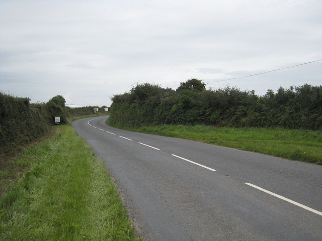
Image: © Rod Allday Taken: 31 Jul 2009
This bend in the A3078 curves around the rampart of Dingerein Castle, an iron age hill fort. The hedge alongside the road is the outer rampart and there are remains of an inner rampart in the field behind. These are not visible from the road but can clearly be seen on an aerial view. The castle is said to be where lie the remains of King Gereint or Gerren of Dumnonia, killed at the Battle of Carrick in 598.
Images are licensed for reuse under creativecommons.org/licenses/by-sa/2.0
Image Location
Latitude
50.199771
Longitude
-4.970015