A grazing field at Earlston
Introduction
The photograph on this page of A grazing field at Earlston by Walter Baxter as part of the Geograph project.
The Geograph project started in 2005 with the aim of publishing, organising and preserving representative images for every square kilometre of Great Britain, Ireland and the Isle of Man.

There are currently over 7.5m images from over 14,400 individuals and you can help contribute to the project by visiting https://www.geograph.org.uk
A grazing field at Earlston
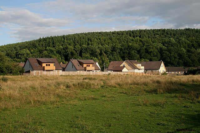
Image: © Walter Baxter Taken: 30 Jul 2009
This field adjacent to the health centre is grazed by some horses. The woodland in the background is on White Hill.
Images are licensed for reuse under creativecommons.org/licenses/by-sa/2.0
Image Location
Latitude
55.637278
Longitude
-2.678586