Stoke St Mary: Henlade Wood
Introduction
The photograph on this page of Stoke St Mary: Henlade Wood by Martin Bodman as part of the Geograph project.
The Geograph project started in 2005 with the aim of publishing, organising and preserving representative images for every square kilometre of Great Britain, Ireland and the Isle of Man.

There are currently over 7.5m images from over 14,400 individuals and you can help contribute to the project by visiting https://www.geograph.org.uk
Stoke St Mary: Henlade Wood
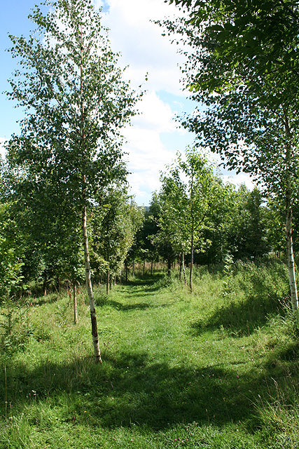
Image: © Martin Bodman Taken: 30 Jul 2009
Part of the Woodland Trust estate, the wood covers 22.19 acres and new plantings - including ash and oak - date from 1998
Images are licensed for reuse under creativecommons.org/licenses/by-sa/2.0
Image Location
Latitude
50.997457
Longitude
-3.03793