Resettlement houses in central Port Charlotte
Introduction
The photograph on this page of Resettlement houses in central Port Charlotte by C Michael Hogan as part of the Geograph project.
The Geograph project started in 2005 with the aim of publishing, organising and preserving representative images for every square kilometre of Great Britain, Ireland and the Isle of Man.

There are currently over 7.5m images from over 14,400 individuals and you can help contribute to the project by visiting https://www.geograph.org.uk
Resettlement houses in central Port Charlotte
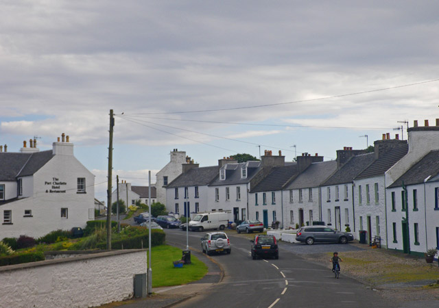
Image: © C Michael Hogan Taken: 22 Jul 2009
The buildings at image right are from the time of the land clearances of the mid 18th century.
Images are licensed for reuse under creativecommons.org/licenses/by-sa/2.0
Image Location
Latitude
55.740166
Longitude
-6.378842