Roadsign at Lower Boddington
Introduction
The photograph on this page of Roadsign at Lower Boddington by David Stowell as part of the Geograph project.
The Geograph project started in 2005 with the aim of publishing, organising and preserving representative images for every square kilometre of Great Britain, Ireland and the Isle of Man.

There are currently over 7.5m images from over 14,400 individuals and you can help contribute to the project by visiting https://www.geograph.org.uk
Roadsign at Lower Boddington
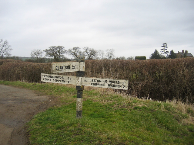
Image: © David Stowell Taken: 25 Mar 2006
Situated on the boundary of the square at the road junction on the west of Lower Boddington. This area has many old finger post road signs such as this, and although they seem to have escaped the attentions of the modernisers they also seem to have lacked the attention of a painter for a while.
Images are licensed for reuse under creativecommons.org/licenses/by-sa/2.0
Image Location
Latitude
52.165089
Longitude
-1.299655