The Brickmakers Arms Public House, Gillingham
Introduction
The photograph on this page of The Brickmakers Arms Public House, Gillingham by David Anstiss as part of the Geograph project.
The Geograph project started in 2005 with the aim of publishing, organising and preserving representative images for every square kilometre of Great Britain, Ireland and the Isle of Man.

There are currently over 7.5m images from over 14,400 individuals and you can help contribute to the project by visiting https://www.geograph.org.uk
The Brickmakers Arms Public House, Gillingham
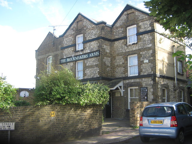
Image: © David Anstiss Taken: 28 Jul 2009
On junction of Wyles Street (on right) and Clifton Road (unseen on left). Wyles Street on right, is only car accessible as far as the pub, afterwards is a footpath to another section of Wyles Street.
Images are licensed for reuse under creativecommons.org/licenses/by-sa/2.0
Image Location
Latitude
51.393055
Longitude
0.547048