Wharf Street, Warwick
Introduction
The photograph on this page of Wharf Street, Warwick by Robin Stott as part of the Geograph project.
The Geograph project started in 2005 with the aim of publishing, organising and preserving representative images for every square kilometre of Great Britain, Ireland and the Isle of Man.

There are currently over 7.5m images from over 14,400 individuals and you can help contribute to the project by visiting https://www.geograph.org.uk
Wharf Street, Warwick
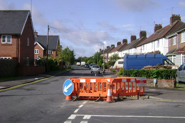
Image: © Robin Stott Taken: 30 Jul 2009
Seen from its junction with the south end of Nelson Lane. On the left is housing for rent from Jephson Housing Association on the Emscote Lawn development.
Images are licensed for reuse under creativecommons.org/licenses/by-sa/2.0
Image Location
Latitude
52.286873
Longitude
-1.574815