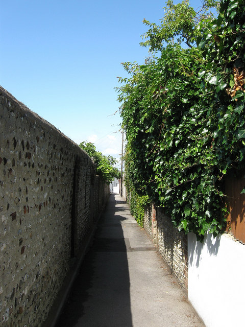
Vines Place
Introduction
The photograph on this page of Vines Place by Simon Carey as part of the Geograph project.
The Geograph project started in 2005 with the aim of publishing, organising and preserving representative images for every square kilometre of Great Britain, Ireland and the Isle of Man.
There are currently over 7.5m images from over 14,400 individuals and you can help contribute to the project by visiting https://www.geograph.org.uk

Image: © Simon Carey Taken: 30 Jul 2009
Footpath linking Dyke Road with Powis Grove and named after a former windmill that once stood nearby. The windmill has gone but the former cottages for the mill workers still exist behind the flint walls to the right. The path itself follows the course of a much older footway that lead to the former chalybeate in St Ann's Well Gardens.

