Derelict Farm
Introduction
The photograph on this page of Derelict Farm by Gordon Dowie as part of the Geograph project.
The Geograph project started in 2005 with the aim of publishing, organising and preserving representative images for every square kilometre of Great Britain, Ireland and the Isle of Man.

There are currently over 7.5m images from over 14,400 individuals and you can help contribute to the project by visiting https://www.geograph.org.uk
Derelict Farm
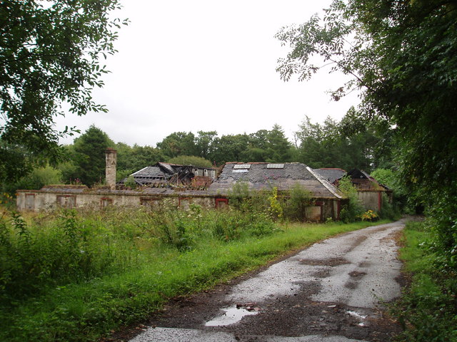
Image: © Gordon Dowie Taken: 29 Jul 2009
Now derelict farm buildings on the Caldwell House estate. The buildings were last used as a Nursing Home in the 90's. Caldwell House was used up till the 70's by the health board as a Mental Health Hospital. The house is also derelict. 29th July 2009 8.45a.m.
Images are licensed for reuse under creativecommons.org/licenses/by-sa/2.0
Image Location
Latitude
55.757614
Longitude
-4.533122