Brincliffe Edge Wood
Introduction
The photograph on this page of Brincliffe Edge Wood by Martin Speck as part of the Geograph project.
The Geograph project started in 2005 with the aim of publishing, organising and preserving representative images for every square kilometre of Great Britain, Ireland and the Isle of Man.

There are currently over 7.5m images from over 14,400 individuals and you can help contribute to the project by visiting https://www.geograph.org.uk
Brincliffe Edge Wood
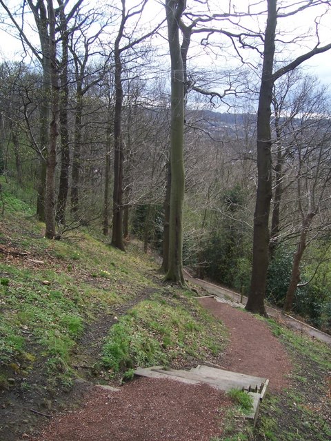
Image: © Martin Speck Taken: 23 Mar 2008
Brincliffe Edge Wood is managed by Nether Edge Neighbourhood Group in partnership with the City Council, and with help from local schools and youth organisations.
Images are licensed for reuse under creativecommons.org/licenses/by-sa/2.0
Image Location
Latitude
53.35678
Longitude
-1.499341