To Leadgate from Consett, via Watling Wood
Introduction
The photograph on this page of To Leadgate from Consett, via Watling Wood by Pauline E as part of the Geograph project.
The Geograph project started in 2005 with the aim of publishing, organising and preserving representative images for every square kilometre of Great Britain, Ireland and the Isle of Man.

There are currently over 7.5m images from over 14,400 individuals and you can help contribute to the project by visiting https://www.geograph.org.uk
To Leadgate from Consett, via Watling Wood
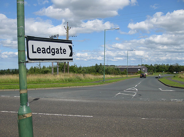
Image: © Pauline E Taken: 25 Jul 2009
Pontop Pike TV transmitter in the distance, and Watling Wood on the left of the road. David Bellamy, along with local schoolchildren, planted 3 acres of the wood in the early 1990s.
Images are licensed for reuse under creativecommons.org/licenses/by-sa/2.0
Image Location
Latitude
54.861313
Longitude
-1.815005