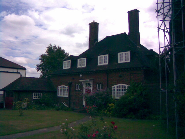
House next to St Andrew's Church
Introduction
The photograph on this page of House next to St Andrew's Church by Robert Lamb as part of the Geograph project.
The Geograph project started in 2005 with the aim of publishing, organising and preserving representative images for every square kilometre of Great Britain, Ireland and the Isle of Man.
There are currently over 7.5m images from over 14,400 individuals and you can help contribute to the project by visiting https://www.geograph.org.uk

Image: © Robert Lamb Taken: 29 Jul 2009
St Andrew's Church is located at the end of the eponymous St Andrew's Road. I was going to photograph the church too, but as can be seen at the far right of the image, the church is currently undergoing restoration and is covered in scaffolding. Next to the church on St Andrew's Road is this rather attractive-looking house - I am unsure if it is actually part of the church, but it is within the church grounds and certainly has a different outlook to the 1930s terraced houses which dominate the street. View taken from St Andrew's Road at its junction with The Drive looking south-southwest in the direction of Ilford.

