The Nevison Arms, Plank Lane
Introduction
The photograph on this page of The Nevison Arms, Plank Lane by David Long as part of the Geograph project.
The Geograph project started in 2005 with the aim of publishing, organising and preserving representative images for every square kilometre of Great Britain, Ireland and the Isle of Man.

There are currently over 7.5m images from over 14,400 individuals and you can help contribute to the project by visiting https://www.geograph.org.uk
The Nevison Arms, Plank Lane
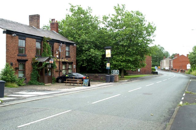
Image: © David Long Taken: 29 Jul 2009
This pub looks as if it predates all the surrounding buildings. As seen in previous shots, much of what came later, which was associated with the colliery, has gone, but it has survived.
Images are licensed for reuse under creativecommons.org/licenses/by-sa/2.0
Image Location
Latitude
53.494262
Longitude
-2.551036