The view East from Plank Lane Lift Bridge
Introduction
The photograph on this page of The view East from Plank Lane Lift Bridge by David Long as part of the Geograph project.
The Geograph project started in 2005 with the aim of publishing, organising and preserving representative images for every square kilometre of Great Britain, Ireland and the Isle of Man.

There are currently over 7.5m images from over 14,400 individuals and you can help contribute to the project by visiting https://www.geograph.org.uk
The view East from Plank Lane Lift Bridge
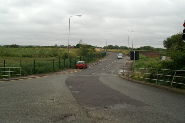
Image: © David Long Taken: 29 Jul 2009
The old map of the area shows numerous buildings in this area, most associated with Bickershaw Colliery, which lay to the right. All, including the three pubs (Packet, Grey Horse, Britannia), have gone.
Images are licensed for reuse under creativecommons.org/licenses/by-sa/2.0
Image Location
Latitude
53.493068
Longitude
-2.556447