Broadmeadow Special School, Wolverhampton
Introduction
The photograph on this page of Broadmeadow Special School, Wolverhampton by Richard Law as part of the Geograph project.
The Geograph project started in 2005 with the aim of publishing, organising and preserving representative images for every square kilometre of Great Britain, Ireland and the Isle of Man.

There are currently over 7.5m images from over 14,400 individuals and you can help contribute to the project by visiting https://www.geograph.org.uk
Broadmeadow Special School, Wolverhampton
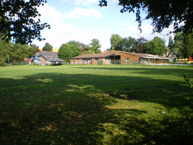
Image: © Richard Law Taken: 27 Jul 2009
This shares much of the same site as the West Park primary school; they occupy either end of a plot between West Park Road and the Newhampton Road.
Images are licensed for reuse under creativecommons.org/licenses/by-sa/2.0
Image Location
Latitude
52.590343
Longitude
-2.135758