Valley above Clough Lane, Rastrick
Introduction
The photograph on this page of Valley above Clough Lane, Rastrick by Humphrey Bolton as part of the Geograph project.
The Geograph project started in 2005 with the aim of publishing, organising and preserving representative images for every square kilometre of Great Britain, Ireland and the Isle of Man.

There are currently over 7.5m images from over 14,400 individuals and you can help contribute to the project by visiting https://www.geograph.org.uk
Valley above Clough Lane, Rastrick
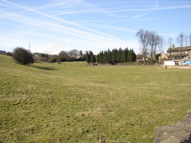
Image: © Humphrey Bolton Taken: 22 Mar 2006
At the junction with Slades Lane, SE134206. On the extreme left is a truck on the M62. Straight ahead the distinctive tower of Lands House can just be seen. Someone has lost a football. The bush on the left is probably part a former hedge, shown on a mid-20C 6"/mile map. There is a public footpath along the south-eastern side of the former field boundary, but there is no stile to gain access to it and it is said to be a dead end, cut off by the M62 only a few metres from another footpath, which was an ancient highway called Cote Lane.
Images are licensed for reuse under creativecommons.org/licenses/by-sa/2.0
Image Location
Latitude
53.681691
Longitude
-1.798601