Crofty Inn
Introduction
The photograph on this page of Crofty Inn by Colin Smith as part of the Geograph project.
The Geograph project started in 2005 with the aim of publishing, organising and preserving representative images for every square kilometre of Great Britain, Ireland and the Isle of Man.

There are currently over 7.5m images from over 14,400 individuals and you can help contribute to the project by visiting https://www.geograph.org.uk
Crofty Inn
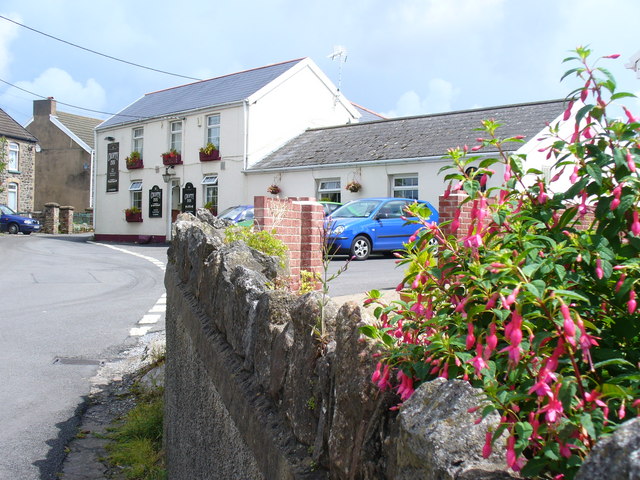
Image: © Colin Smith Taken: 24 Jul 2009
Village pub in Crofty, on the edge of the Llanrhidian salt marshes on the Loughor Estuary.
Images are licensed for reuse under creativecommons.org/licenses/by-sa/2.0
Image Location


Leaflet Map data © OpenStreetMap
Latitude
51.634022
Longitude
-4.129639