View Towards Neatham Down, Hampshire
Introduction
The photograph on this page of View Towards Neatham Down, Hampshire by Peter Trimming as part of the Geograph project.
The Geograph project started in 2005 with the aim of publishing, organising and preserving representative images for every square kilometre of Great Britain, Ireland and the Isle of Man.

There are currently over 7.5m images from over 14,400 individuals and you can help contribute to the project by visiting https://www.geograph.org.uk
View Towards Neatham Down, Hampshire
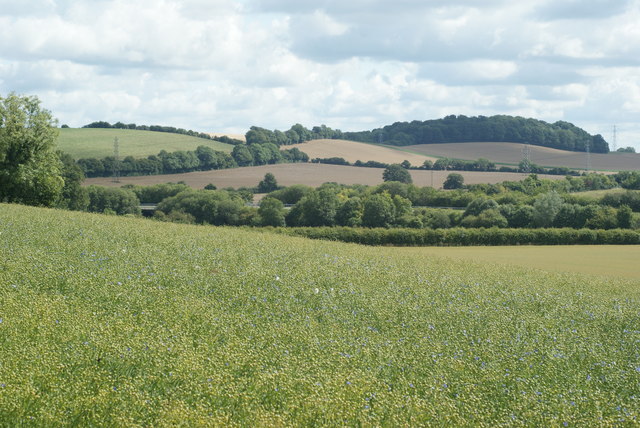
Image: © Peter Trimming Taken: 25 Jul 2009
Neatham Down lies towards the left of picture, with Monk Wood towards the right. According to the OS map, there are Earthworks within Monk Wood.
Images are licensed for reuse under creativecommons.org/licenses/by-sa/2.0
Image Location
Latitude
51.143217
Longitude
-0.960704