Entrance to The Mile Allotments, Pocklington
Introduction
The photograph on this page of Entrance to The Mile Allotments, Pocklington by Dr Patty McAlpin as part of the Geograph project.
The Geograph project started in 2005 with the aim of publishing, organising and preserving representative images for every square kilometre of Great Britain, Ireland and the Isle of Man.

There are currently over 7.5m images from over 14,400 individuals and you can help contribute to the project by visiting https://www.geograph.org.uk
Entrance to The Mile Allotments, Pocklington
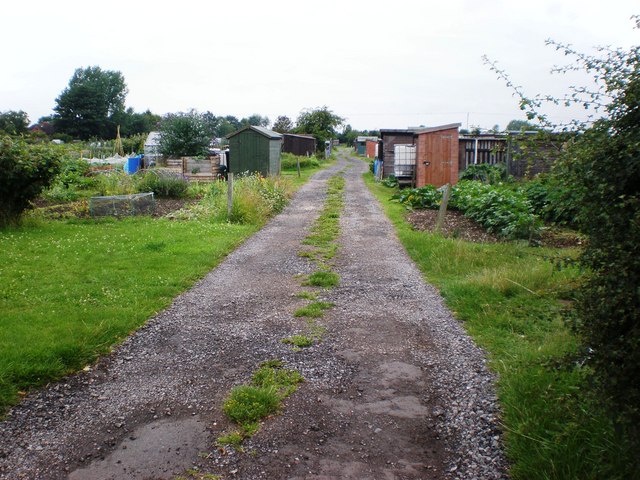
Image: © Dr Patty McAlpin Taken: 26 Jul 2009
This shows one of the tracks leading into Pocklington Town Council's allotments along The Mile at Pocklington.
Images are licensed for reuse under creativecommons.org/licenses/by-sa/2.0
Image Location
Latitude
53.937981
Longitude
-0.775695