Topiary, King Lane
Introduction
The photograph on this page of Topiary, King Lane by Hugh Craddock as part of the Geograph project.
The Geograph project started in 2005 with the aim of publishing, organising and preserving representative images for every square kilometre of Great Britain, Ireland and the Isle of Man.

There are currently over 7.5m images from over 14,400 individuals and you can help contribute to the project by visiting https://www.geograph.org.uk
Topiary, King Lane
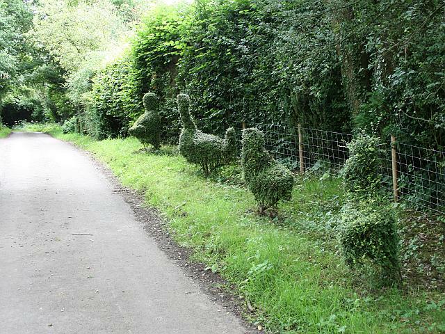
Image: © Hugh Craddock Taken: 26 Jul 2009
Topiary outside Kings Cottage in King Lane, opposite the turning to Froxfield Farm.
Images are licensed for reuse under creativecommons.org/licenses/by-sa/2.0
Image Location
Latitude
51.027554
Longitude
-0.978836