Lythe Lane at Lythe Farm
Introduction
The photograph on this page of Lythe Lane at Lythe Farm by Hugh Craddock as part of the Geograph project.
The Geograph project started in 2005 with the aim of publishing, organising and preserving representative images for every square kilometre of Great Britain, Ireland and the Isle of Man.

There are currently over 7.5m images from over 14,400 individuals and you can help contribute to the project by visiting https://www.geograph.org.uk
Lythe Lane at Lythe Farm
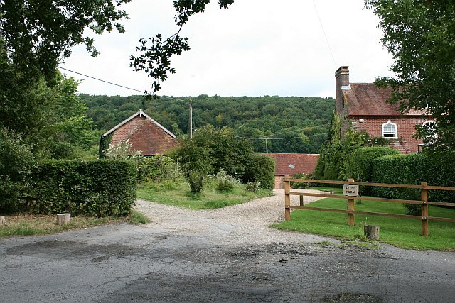
Image: © Hugh Craddock Taken: 26 Jul 2009
Lythe Lane (an unclassified road U214) deteriorates from here into a roughly surfaced track, before climbing Lythe Hanger as Steep BOAT 31. The wing fences and hedge shown here at Lythe Farm tend to suggest that the road is private beyond this point (the road is the track to the left).
Images are licensed for reuse under creativecommons.org/licenses/by-sa/2.0
Image Location


Leaflet Map data © OpenStreetMap
Latitude
51.016765
Longitude
-0.968808