Farm track to Barrodger Farm
Introduction
The photograph on this page of Farm track to Barrodger Farm by Gordon Dowie as part of the Geograph project.
The Geograph project started in 2005 with the aim of publishing, organising and preserving representative images for every square kilometre of Great Britain, Ireland and the Isle of Man.

There are currently over 7.5m images from over 14,400 individuals and you can help contribute to the project by visiting https://www.geograph.org.uk
Farm track to Barrodger Farm
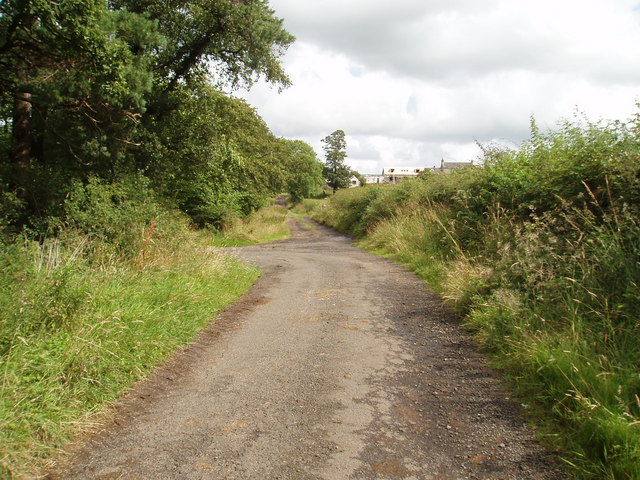
Image: © Gordon Dowie Taken: 26 Jul 2009
Track leading to Barrodger farm (seen in the distance) off unclassified Road. 26th July 2009 4.20p.m.
Images are licensed for reuse under creativecommons.org/licenses/by-sa/2.0
Image Location
Latitude
55.772666
Longitude
-4.625309