Gardiner Street, Belfast
Introduction
The photograph on this page of Gardiner Street, Belfast by Albert Bridge as part of the Geograph project.
The Geograph project started in 2005 with the aim of publishing, organising and preserving representative images for every square kilometre of Great Britain, Ireland and the Isle of Man.

There are currently over 7.5m images from over 14,400 individuals and you can help contribute to the project by visiting https://www.geograph.org.uk
Gardiner Street, Belfast
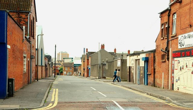
Image: © Albert Bridge Taken: 26 Jul 2009
Gardiner Street (160 years ago it was Gardiner’s Place) runs south off Peter’s Hill. The City Hospital Image is the tall building in the background at middle/left. See also Image
Images are licensed for reuse under creativecommons.org/licenses/by-sa/2.0
Image Location
Latitude
54.602013
Longitude
-5.93649