The Foxley
Introduction
The photograph on this page of The Foxley by Ian Calderwood as part of the Geograph project.
The Geograph project started in 2005 with the aim of publishing, organising and preserving representative images for every square kilometre of Great Britain, Ireland and the Isle of Man.

There are currently over 7.5m images from over 14,400 individuals and you can help contribute to the project by visiting https://www.geograph.org.uk
The Foxley
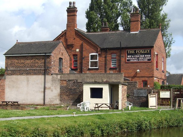
Image: © Ian Calderwood Taken: 25 Jul 2009
The Foxley stands on the junction of the Caldon Canal and the former Foxley branch, which served nearby coal mines and an ironworks.
Images are licensed for reuse under creativecommons.org/licenses/by-sa/2.0
Image Location
Latitude
53.048158
Longitude
-2.149875