Almshouses, Chepstow
Introduction
The photograph on this page of Almshouses, Chepstow by Colin Smith as part of the Geograph project.
The Geograph project started in 2005 with the aim of publishing, organising and preserving representative images for every square kilometre of Great Britain, Ireland and the Isle of Man.

There are currently over 7.5m images from over 14,400 individuals and you can help contribute to the project by visiting https://www.geograph.org.uk
Almshouses, Chepstow
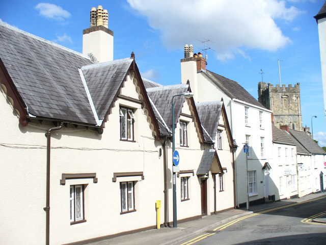
Image: © Colin Smith Taken: 25 Jul 2009
Old houses in the town centre of Chepstow. In the background is the tower of the parish church, St Mary. http://www.chepstow.co.uk/Contents/Text/Index.asp?SiteId=137&SiteExtra=14722766&TopNavId=284&NavSideId=1194
Images are licensed for reuse under creativecommons.org/licenses/by-sa/2.0
Image Location
Latitude
51.642597
Longitude
-2.673386